The walking guide to
Berlin
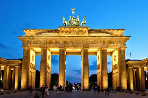
Berlin on foot: 17 places explained, 3 routes drawn on real streets, 5 districts and the essentials for getting around. Sources are cited on every page.
- 17
- places
- 3
- routes
- 5
- districts
Where to start
Distances measured along the line; times are walking time only, without visits.
Map of places


- 1Brandenburg GateMonuments
- 2Reichstag buildingMonuments
- 3Museum IslandMuseums
- 4Berlin CathedralChurches and chapels
- 5Pergamon MuseumMuseums
- 6Checkpoint CharlieMonuments
- 7East Side GalleryMonuments
- 8Gedenkstätte Berliner MauerMonuments
- 9Memorial to the Murdered Jews of EuropeMonuments
- 10GendarmenmarktSquares and streets
- 11AlexanderplatzSquares and streets
- 12Fernsehturm BerlinViewpoints
- 13Kaiser Wilhelm Memorial ChurchChurches and chapels
- 14Schloss CharlottenburgMonuments
- 15TiergartenGardens
- 16Potsdamer PlatzSquares and streets
- 17Unter den LindenSquares and streets
Districts
Mitte
Mitte is the first and most central borough of Berlin.
Kreuzberg
Kreuzberg is a district of Berlin, Germany.
Prenzlauer Berg
Prenzlauer Berg is a locality of Berlin, forming the southerly and most urban district of the borough of Pankow.
Charlottenburg
Charlottenburg is a locality of Berlin within the borough of Charlottenburg-Wilmersdorf.
Friedrichshain
Friedrichshain is a quarter of the borough of Friedrichshain-Kreuzberg in Berlin, Germany.
App in preparation
The Berlin guide has no app yet. Leave your address: a single message on the day it comes out.